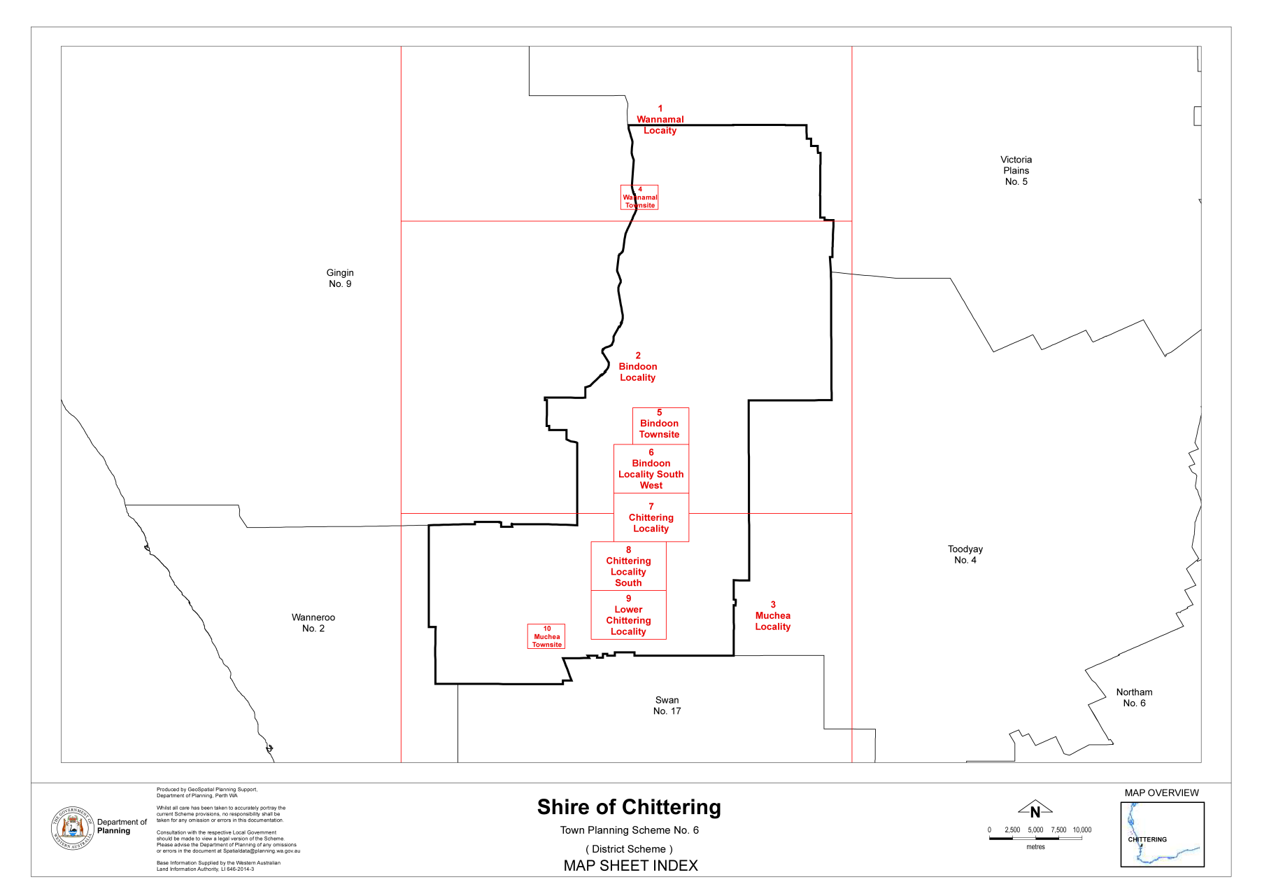
Map of the Chittering District
The Roads Board of Gingin was created in January 1893. It encompassed most of Chittering including Bindoon, Wannamal fell under the auspices of Victoria Plains.
The Chittering Brook Roads Board District was gazetted on 10 January 1896 and then amended on 7 February 1896. The first Chittering Brook Roads Board election was held on 11 March 1896.
On 1 July 1961 all Roads Boards became Shires, so on 8 July 1961 all serving Roads Board members were sworn in as Shire of Chittering Councillors.
The Shire of Chittering is located 55kms north of Perth, with an area covering 1,220km2. It has 230km of sealed roads and 174km of unsealed roads.
The Shire has approximately 5,930 residents (as per 2021 ABS) residing in the area. With a unique landscape of large areas of untouched bushland, state forest, wetlands, and industrial and commercial estates, the Shire is a wonderful place to visit and an ideal place to live.
The local economy is based on broad-acre farming, orchards, small rural and offers many semi-rural lifestyle residential properties. There is limited industry, being Extractive Industry operations (gravel, clay and sand), the State Livestock yards (WAMIA), Mineral sands processing (Tronox), Buddha Mandala Monastery, nurseries, Bindoon Bakehaus and Cafe, Chittering Tourist Attraction, viticulture and wineries and other small businesses.
The Shire services the townsites of Muchea, Bindoon and Wannamal along with the localties of Mooliabeenee, Upper Chittering and Lower Chittering.
The Shire of Chittering Administrative Centre is based in Bindoon at 6177 Great Northern Highway.
In accordance with s5.96A(1)(a) of the Local Government Legislation Amendment Act 2019, please find a map of the District below.
